Professional aerial and thermal inspections delivered Australia-wide and offshore.
ABS Drones and Thermal Imaging specialises in advanced aerial and ground-based inspection services, deploying high-resolution drone technology and precision handheld thermal cameras to deliver accurate, actionable data. Headquartered in Bundaberg and operating across Australia and offshore, we identify critical anomalies — including thermal hotspots, water ingress, and structural irregularities — that remain undetectable through conventional visual assessment. Our capabilities serve a broad range of sectors, including solar farm operations, agricultural management, industrial infrastructure, insurance reporting, and emergency response.
Accurate data from the air and ground
ABS Drones and Thermal Imaging delivers precise inspection data that reveals what the naked eye can't see. We identify structural issues, water ingress, and thermal anomalies across your assets.
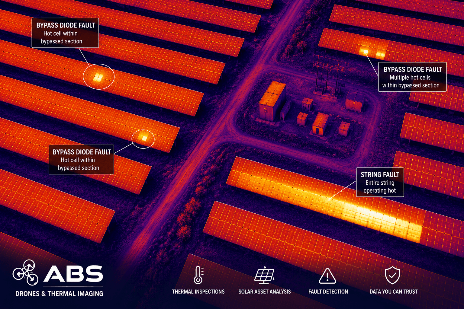
Aerial solar inspections
IEC complinat high resolution thermal and RGB imaging to detect hotspots, string failures, diode faults, and performance losses across solar farms and rooftop PV systems. Our inspections support preventive maintenance, warranty claims, and compliance reporting.
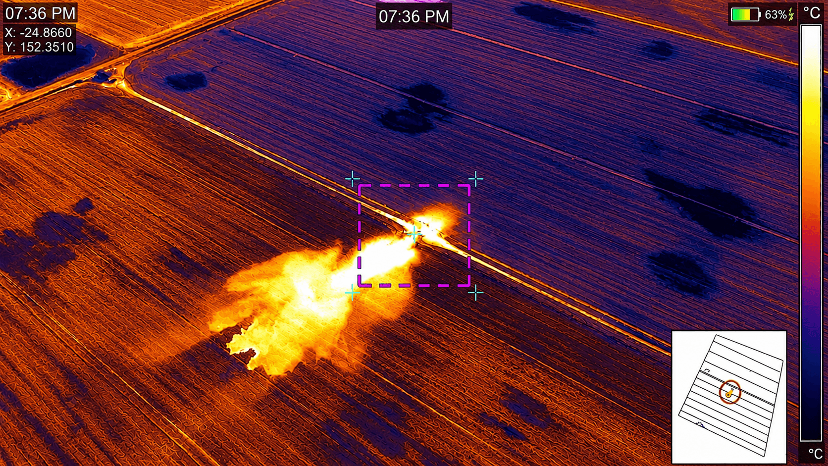
Irrigation and leak detection
Thermal imaging identifies water loss, blocked lines, and inefficient irrigation zones, helping farmers reduce waste and improve productivity.
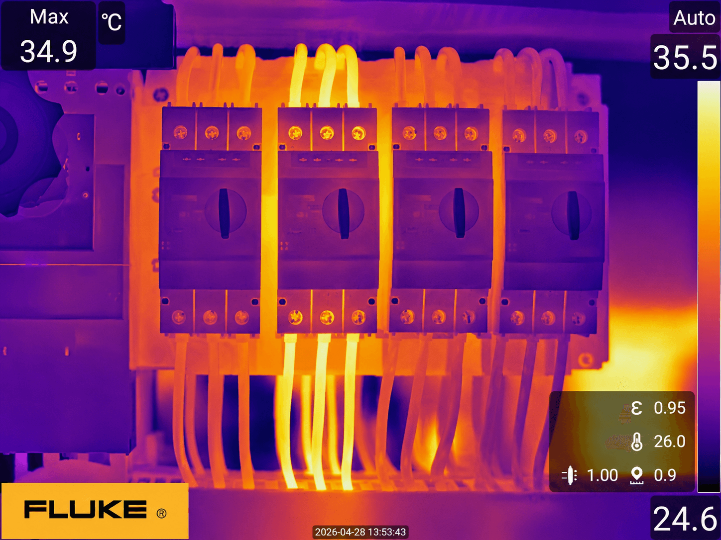
Industrial infrastructure
Thermal and visual inspections for electrical, mechanical, and structural assets. Identify faults early, reduce downtime, and extend equipment life across industrial and commercial sites.
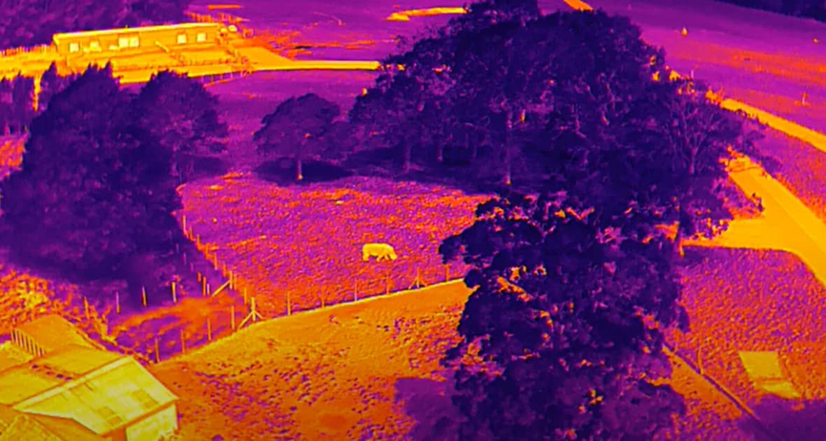
Environmental Monitoring
Precision aerial and thermal monitoring solutions for wildlife assessment, pest surveillance, and environmental compliance — encompassing fire ant detection, waterway monitoring, and habitat evaluation. Engineered for government agencies, land managers, and environmental consultants who demand reliable, data-driven intelligence. Drone platforms integrated with high-resolution thermal imaging technology enable comprehensive scanning of large areas for fire ant and pest activity. Capable of performing both broad area surveys and targeted inspections, our UAV solutions deliver efficient, accurate monitoring of suspected infestation zones.
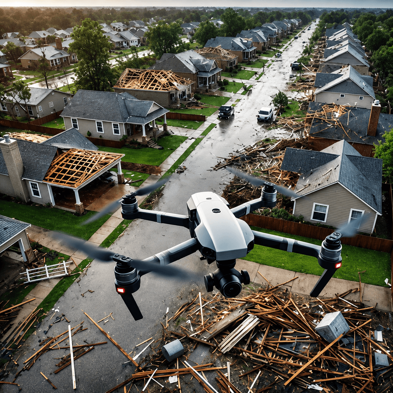
Insurance reporting
Precision thermal and drone inspections for storm and hail damage assessments, insurance renewal reporting, and structural analysis — delivered with certified accuracy and high-resolution imagery you can rely on.
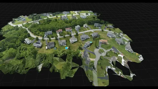
2D & 3D Mapping
Detailed 2D and 3D mapping

Australian Association Uncrewed Systems
AAUS Accredited
Australian Association of Professional Thermographers
AUSTPA Member
Certified Level 2 Thermographer #18056
Infraspection Institue Accredited

Australian Institute of Non-destructive Testing
AINDT Members
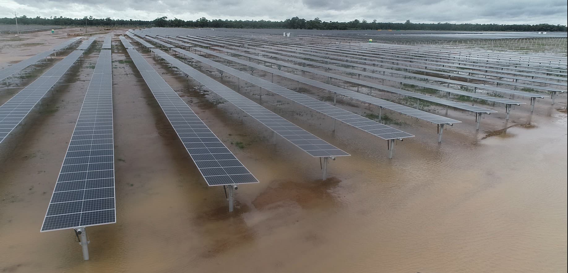
Damage assessments
ABS Drones and Thermal Imaging can rapidly deploy to conduct assessments of structural damage to critical infrastructure.
Drones and thermal imaging reveal hidden structural issues, water ingress, and anomalies for solar, agriculture, and industry. Trusted for insurance and emergency response, anywhere in Australia.
Relied Upon by Property Owners and Industry Professionals Across Australia
ABS Drones and Thermal Imaging delivers accurate thermal and aerial data that identifies problems before they become costly. Our results speak for themselves.
±2°C or 2%
Temperate accuracy
While no technology is absolute, infrared thermal imaging is a far more powerful diagnostic tool than the naked eye for identifying potential anomalies with a measurement accuracy of ±2°C or 2%
90%
Anomaly detection rate
By combining high-resolution drone flight with advanced thermography, we help industrial and commercial facilities reduce maintenance costs by up to 40% and cut unplanned downtime by 50%. Our rapid aerial surveys detect over 90% of thermal anomalies in solar farms, power lines, and roofing systems—areas often invisible or inaccessible from the ground. Protect your bottom line and ensure operational continuity with a non-intrusive, data-driven perspective that pays for itself
48h
Report turnaround
Detailed findings and actionable data delivered quickly so you can make informed decisions fast.
120 - 250 acres per flight
Coverage per flight
Aerial drones cover large areas efficiently. One flight replaces days of ground-level inspection work.
Built to see what others miss
ABS Drones and Thermal Imaging started with a simple mission: deliver actionable data that protects your assets. We combine cutting-edge UAV technology with thermal expertise to solve real problems in Bundaberg and beyond.